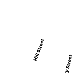
14 HILL ST REAR
Owner Information
LACROIX LUCIEN R
14 HILL ST REAR
NEWBURYPORT, MA 01950


Property Details
14 HILL ST REAR is classified as a CONDO MDL-05 (Condominium).
The primary structure on this property was built in 1999. There are 4,291ft2 of built area within this property. There is 1,380ft2 of residential/living space within this property. This property is listed as having 6 rooms.
14 HILL ST REAR is valued at $609,600. The land is valued at $0 and the structures are valued at $586,800. There is an additional valuation of $22,800 on this property.
This property is in Zone R3. Confirm with local Zoning Board authorities to ensure there are no overlays or other easements on this property.
The most recent deed for 14 HILL ST REAR is recorded at the local registrar in Book 15527, Page 579. 14 HILL ST REAR was last sold on Wednesday, March 10, 1999 for $0.
Assessment data from fiscal year 2021.
Flood Data
According to the FEMA National Flood Hazard Layer, this property does not appear to be in a flood zone. It may also be in an area not yet reviewed. Nonetheless, confirm this information prior to taking any action.
To view the flood hazards around this property, create a FEMA "Firmette" Map of the area around 14 HILL ST REAR.
Broadband Internet Providers
| Provider | Type | Bandwidth (mbps) | |
|---|---|---|---|
| T-Mobile | Fixed Wireless | 25 | 3 |
| Viasat Inc | Satellite | 100 | 3 |
| Verizon New England Inc. | DSL | 15 | 1 |
| VSAT Systems, LLC. | Satellite | 2 | 1 |
| HughesNet | Satellite | 25 | 3 |
| GCI Communication Corp. | Satellite | 0 | 0 |
| Comcast | Cable | 1000 | 35 |
Broadband service provider data from December 2020.
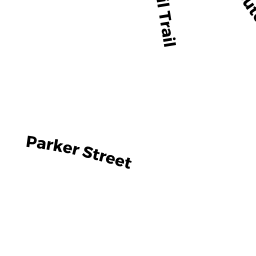
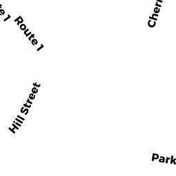
Adjacent Properties
- 161 ROUTE 1
Other, Open Space owned by CONDO MAIN - 161 ROUTE 1 UNIT B
CONDO MDL-05 owned by TOCCI JESSICA E - 161 ROUTE 1 UNIT C
CONDO MDL-05 owned by CASSINO CHRISTOPHER - 161 ROUTE 1 UNIT D
CONDO MDL-05 owned by AYRES ROXANNE J - 161 ROUTE 1 UNIT A
CONDO MDL-05 owned by PARENT HARRY M III - 163 ROUTE 1
Other, Open Space owned by CONDO MAIN - 163 ROUTE 1 UNIT E
CONDO MDL-05 owned by BECKER PAMELA - 163 ROUTE 1 UNIT F
CONDO MDL-05 owned by TANDY SPENCE W - 163 ROUTE 1 UNIT G
CONDO MDL-05 owned by BOSCH TIMOTHY J & ELLEN M - 163 ROUTE 1 UNIT H
CONDO MDL-05 owned by YEUNG YVONNE - 12 HILL ST
Single Family Residential owned by CUMMING CHRISTINE - 16-18 HILL ST
Other, Open Space owned by CONDO MAIN - 16 HILL ST
CONDO MDL-05 owned by TWOMEY DANIEL - 18 HILL ST
CONDO MDL-05 owned by BLACKMAN SCOTT - 22 HILL ST
Single Family Residential owned by WELCH JENNIFER L - 165 ROUTE 1
Developable Residential Land owned by CORMIER MAUREEN A TRS